みんなで石仏調査アーカイブ
Permalink:
https://archives.sekibutsu.info/13924
(
マップ
)
データ作成者:FDG公式
データ作成日:2023年5月20日
©FDG公式 (Licensed under
CC BY 4.0
)
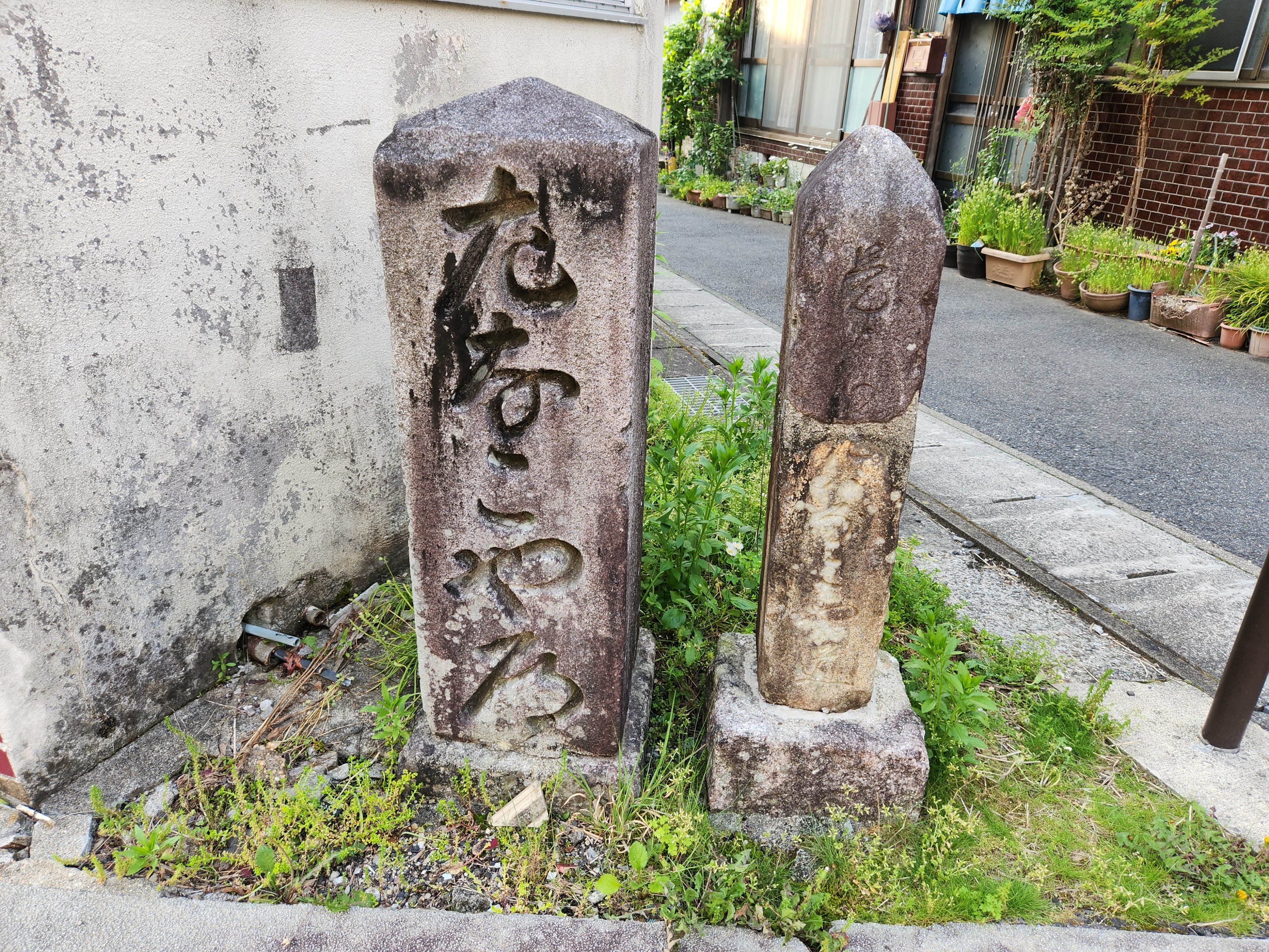
緯度経度:35.367101, 137.437757
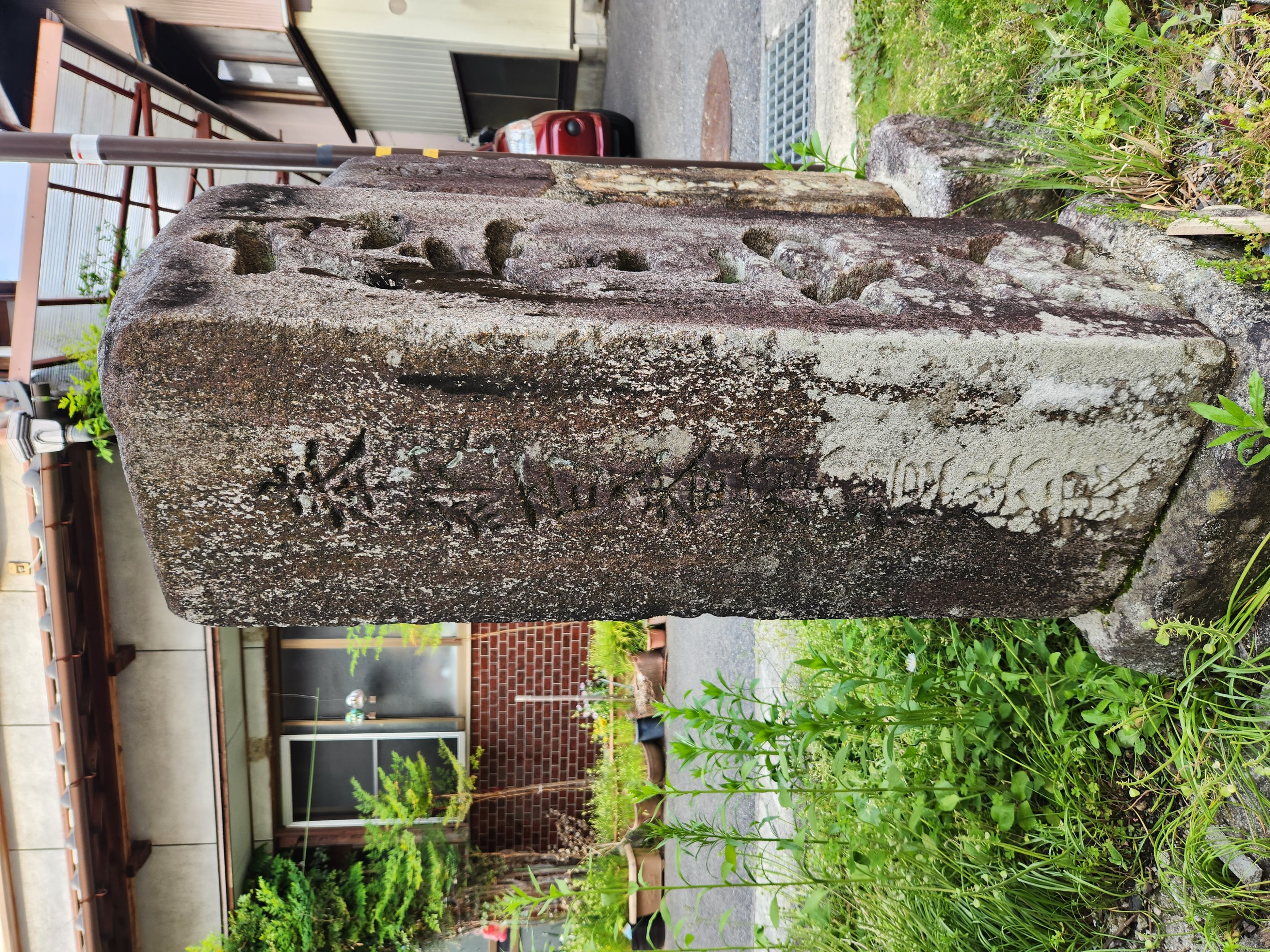
所在地:岐阜県恵那市岩村町(21210)
種類:道標
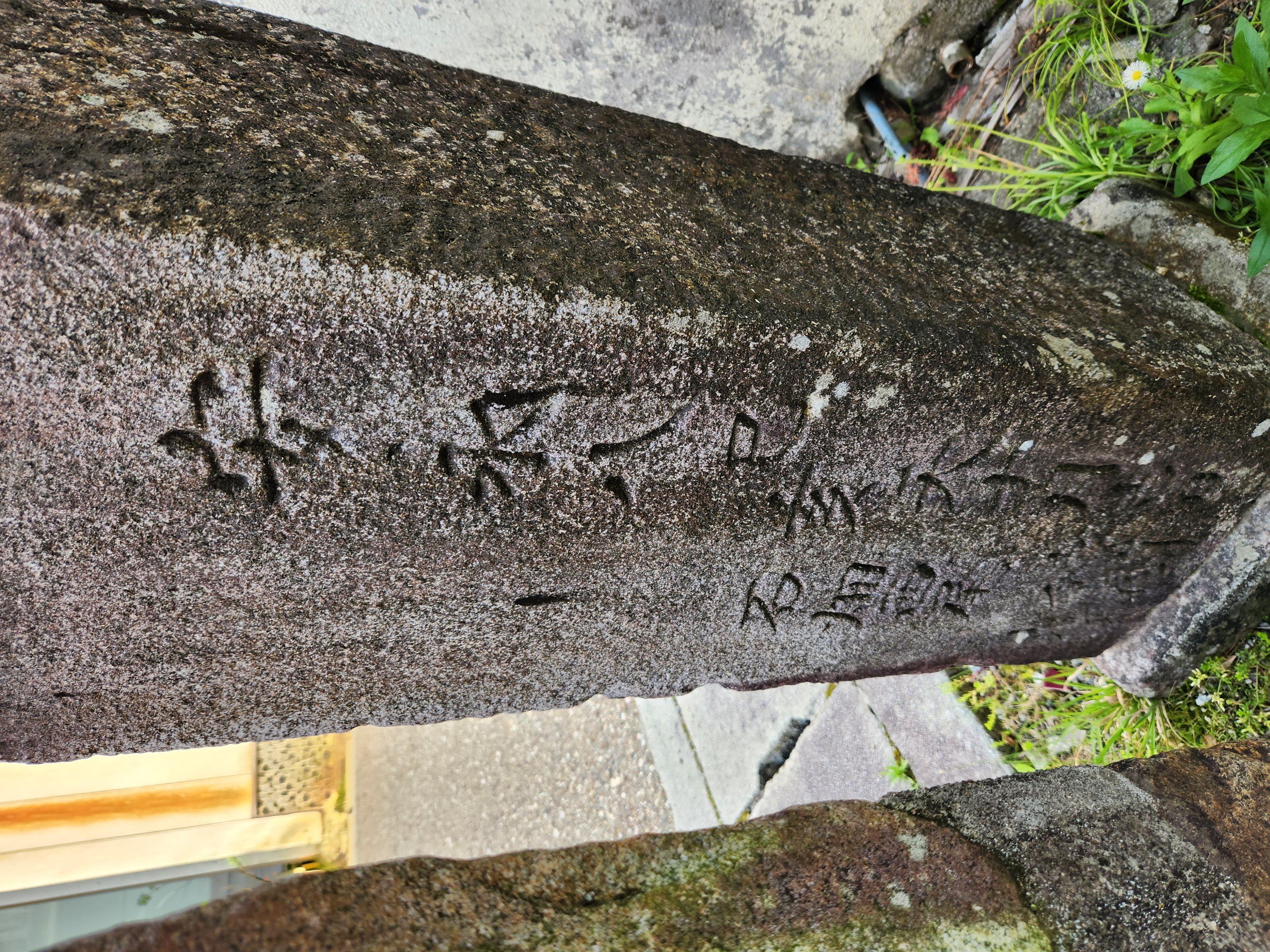
造立年(和暦):安永8年
造立年(西暦):1799
備考:右 なこや道